
IT’S SPRING & THAT MEANS KERR LAKE RISES – FOR UPDATES VISIT OUR FACEBOOK PAGE.
Here we were almost showing up in the drought column in Piedmont North Carolina and Southside Virginia, then came the rains. It’s Spring and especially during April, the showers that bring the flowers usually show up.
Kerr Lake is now over 306.5 feet above MSL (Mean Sea Level – 300′ is normal full pool) and rising, expecting to crest between 309 and 310 feet. A number of U S Army Corps of Engineers and North Carolina State Recreation Areas are either closed or partially closed due to the high waters. We have had no information out of DCR or the Virginia State Parks.
We are currently posting information about parks and public use areas on Kerr Lake as the information is provided to us. As the list of boat ramps and campsites inundated by water is constantly changing we will continue to post that information on our Facebook page which you can find at www.facebook.com/kerrlakeparkwatch.
If you have camping reservations from now through the weekend, Kerr Lake Park Watch suggests that you contact the reservation system for the public park entity as individual state and federal rangers may not have the latest information.
Kerr Lake Park Watch has asked the U S Army Corps of Engineers if the QRR Plan (Quasi-Run-of-River) adopted last year will hasten the departure of the flood waters.
In the final analysis, Kerr Lake is a reservoir, not a lake. And this, well, it’s April and the showers. You know that story.
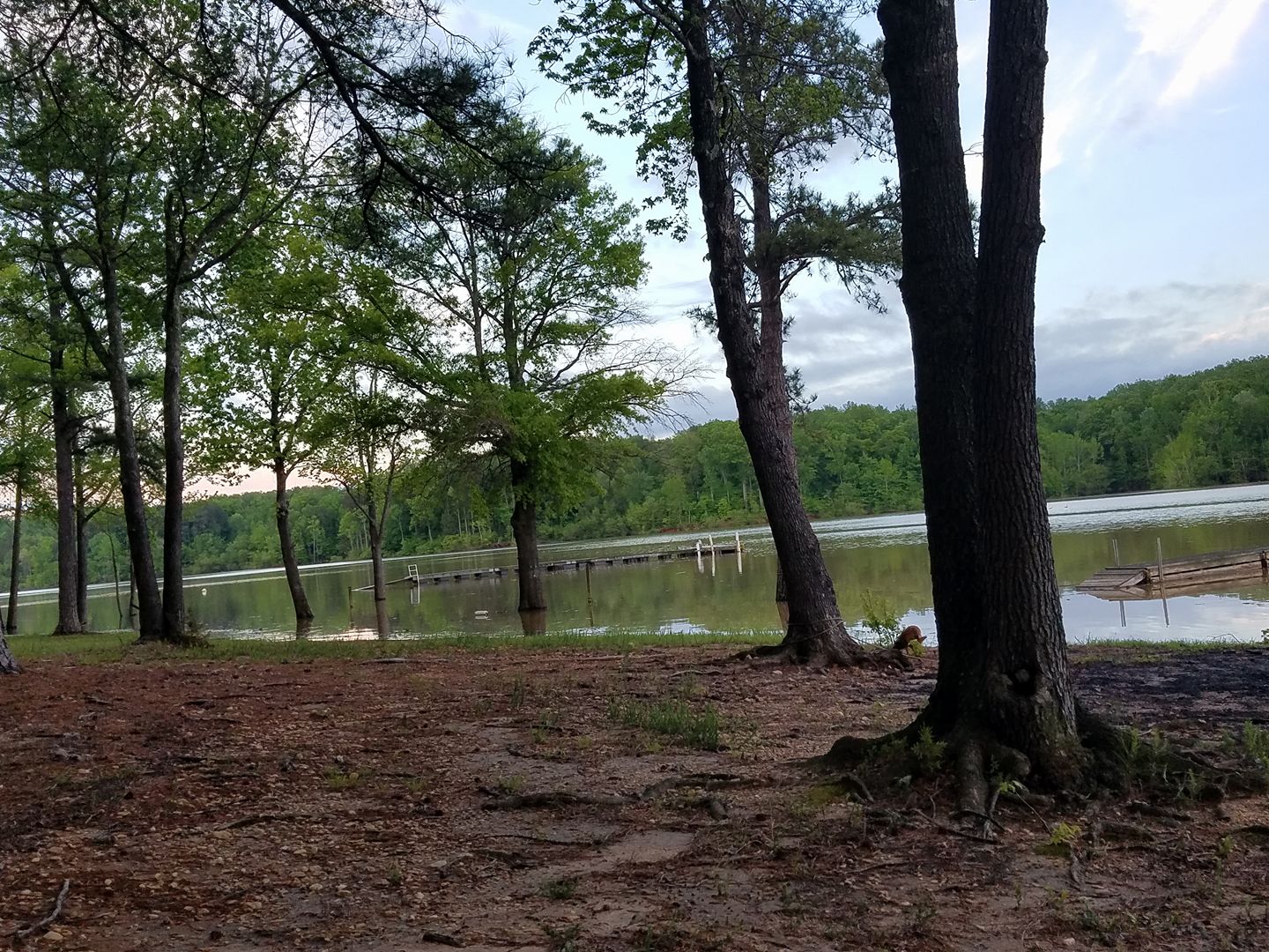
Photo of Nutbush area 4/26/17 by Kelly N. Blake